Sunday, November 30, 2014

Table Rock, The Hallway, & The Dugout


A flattish boulder bridges rocks to create a small "window",
right on the apex of the NE summit of 12er Mt. Peck,, exactly on the Continental Divide.


Pikes Peak through the "window"


Uncompahgre Peak, west through the window, directly over the stone "gnomon".
 
The small opening makes it easier to see detail at a specific point. This would be useful for spotting smoke signals or firelight from predetermined locations. I call this a "View Guide".                         
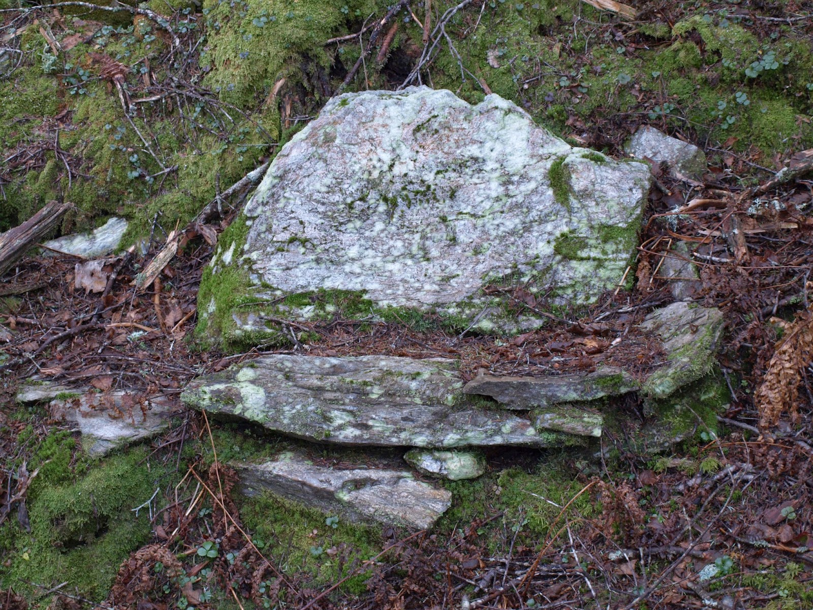
    It's probable that the "table rock" that creates this portal got there by geologic means. It isn't so big, however, that it couldn't have been levered into place by several determined individuals.                   
This is just one of a number of unusual stone features on Mt. Peck that we'll get into in another post.
 
 
The Hallway at "The Dugout"
A few miles north on the Divide is a complex I call "The Dugout". It's a good place to escape the wind on an otherwise exposed ridgeline. I have no way of knowing, but it has the look of a natural place adapted for human shelter and utility. It is very near the Monarch Game Drive area.


The other side of "The Dugout", looking over the top of the Hallway.              
The combination of this depression and the Hallway are suggestive of a ruined habitation. At least I've taken shelter there!


If you look up from the Hallway, there is a small "View Guide" at the top of a rough stair:
Uncompahgre Peak thru the View Guide


I've noticed several of these peek-through rock openings along this section of ridge. they all look to the east, west, or both- but not north or south along the ridge. Although they could be naturally occurring, the context of nearby documented ruins increases the possibility that they are human created. The prehistoric telegraph?
View guide at the top of the Hallway wall

Wednesday, November 26, 2014

Game Runs, Signal Fires & Sight Lines

In 1978, on our 12-day Mountain Orientation course at Colorado Mountain College, our professor (Jim Campbell) showed us some low stone walls on a ridgeline, similar to these pictured. He explained how these were remnants of a "Game Drive", which ancient people used to guide Elk to "ambush pits" as part of seasonal meat gathering. The one shown here is right on the CDT, south of Monarch Pass, at about 12,000'- that's 12,856' Bald Mountain in the background.
        There are all kinds of assemblages scattered around. Long term camps were established up here in the temperate part of the year, first to repair and upgrade the drive network, then to harvest & process the meat.  
 This is all pretty well known and documented. The "Monarch Pass Game Drive" was used from about 3,000 B.C. to the early 1800's, when native contact with whites occurred.  There are even some interpretive signs at the site, a surprise the first time I hiked through here.
 It covers a large area of grassy ridge, and it's easy to imagine the whole operation in action. I met some elk hunters up there this fall not far away. I guess some things haven't changed.
Once you know what you're looking for, you start to develop an eye for the difference between this stuff and 1800's mining ruins. For one thing the bases are deeply pressed into the ground.  The zig-zag lines of wall segments stand out against the tundra, and the terrain has natural features that would help channel big herds of big animals.                         
Here's a much more eroded short wall segment on the bushwhack up Bald Mtn.
 There are numerous artifacts along the ridge, including some ancient firepits.
Yup, this actually compares to authenticated, dated stone-lined firepits in the nearby upper Gunnison Basin. (Hunter-Gatherer Archaeology of the Colorado High Country,  University Press of Colorado, Stiger 2001) It's totally unexcavated, off-trail, and I don't know if anyone has noticed it before. What's really interesting about this one is that it's perched right on a cliff edge.                                            
 Looking West from the firepit, clear line-of-sight to 14er Uncompahgre Peak in the San Juan range.
                               To the east, a sightline to Pike's Peak, in the Front Range.
                               Hiking along the ridge among all this archaic infrastructure, my imagination runs wild. What if there was a long-range communication system in place, by signal fires, for thousands of years in the Rocky Mountains?        

Sunday, November 23, 2014

View Seats and Vision Quests

Partway through a big loop hike of some peaks around the Long Trail in October 2011, I started looking for a lunch spot and saw light filtering through trees just below the ridge crest. Thinking that meant a clear view, I hopped over the edge, dropped down to a little bowl, and saw this stone chair. It was covered with debris, moss, and lichens- no one had been here for a long time. Sitting in the chair I enjoyed this view:
So obviously human made, I couldn't help but speculate. Was this another relic from Will Monroe's 1920's trail crew? This site is only about 4 miles from the more elaborate "love seat" artifact described in the 11/22 entry. Being less exposed, there has been more deposition of debris and growth around the area, but it's still an awesome little nook. I returned here several times before moving to the Rockies.
 Our dog Jetty shows the scale of the site while scoping out the vista.
 Close up of the View Seat.
 
I thought about these Northeastern artifacts on yesterday's snowshoe up to Waterdog Lakes, out here in southern Colorado where there are numerous nearby relics of much greater antiquity - not only centuries old, but in some cases millennia!                                                                                      
 This is the easternmost and least visited of the 4 Waterdog Lakes, with Banana Mtn. (12,339') behind. Banana is a spur of 12,856' Bald Mtn., where there are remnants of a Paleo Indian game drive system in use from 3,000 B.C. to about 1800 A.D. - plenty more on that later. These lakes would have made convenient campsites, with abundant water, for ancient people working the elk runs up on the ridge. Ridgelines in the area are festooned with archaeology, from signal fire structures to summit vision quest locations. The view seats back in Vermont perhaps also represent a sort of vision quest purpose...

I was pretty surprised to find a snowshoe track almost all the way to the East Lake, usually no one comes the 1/2 mile over from the Middle Lake where the trail ends. When the phantom hikers had veered uphill and around to the far shore I cut straight to the near side, and contemplated in solitude how best to "Top Banana" from here sometime.
 

Saturday, November 22, 2014

Mountain 'Henge

Over the years I've come across numerous stone structures in the mountains from New England to Colorado. It's amazing to sit on a stone bench, tucked away off-trail, and ponder it's origins while absorbing the same view as the long-ago builders.

It's my belief that a series of obviously antique stone seats, scattered near the "Monroe Skyline" section of Vermont's Long Trail, were built by Professor Will Monroe and his trail crew in the 1920's. The artifacts seem to be about the right age, and the Professor was known for his tendency to route a trail past every possible feature of interest; caves, cliffs, ponds- so these contemplative sites would fit his sensibilities.
This natural feature, which I call "The Laughing Man", is visible from the Long Trail, if you know when to look. I honestly think Will- or someone- wanted us to see this profile.
More later- time to hike!